
A Fraga topographic map
Interactive map
Click on the map to display elevation.
About this map
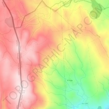
Name: A Fraga topographic map, elevation, terrain.
Location: A Fraga, Lobeira, A Baixa Limia, Ourense, Galicia, Spain (42.02006 -8.08720 42.06472 -8.04042)
Average elevation: 3,698 ft
Minimum elevation: 2,625 ft
Maximum elevation: 4,377 ft