
Dolná Súča topographic map
Interactive map
Click on the map to display elevation.
About this map
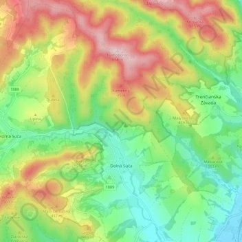
Name: Dolná Súča topographic map, elevation, terrain.
Average elevation: 1,299 ft
Minimum elevation: 712 ft
Maximum elevation: 2,146 ft
The municipality lies at an altitude of 285 metres and covers an area of 26.319 km². It has a population of about 2917 people.