
Perais topographic map
Interactive map
Click on the map to display elevation.
About this map
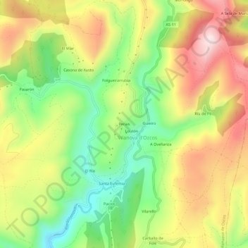
Name: Perais topographic map, elevation, terrain.
Location: Perais, Villanueva de Oscos, Astúrias, 33777, Espanha (43.29353 -7.00919 43.33353 -6.96919)
Average elevation: 2,559 ft
Minimum elevation: 1,867 ft
Maximum elevation: 3,320 ft