
Mound City topographic map
Interactive map
Click on the map to display elevation.
About this map
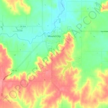
Name: Mound City topographic map, elevation, terrain.
Location: Mound City, Linn County, Kansas, United States (38.10968 -94.89664 38.14963 -94.79678)
Average elevation: 945 ft
Minimum elevation: 820 ft
Maximum elevation: 1,102 ft