
Cité du Champ de l'Ange topographic map
Interactive map
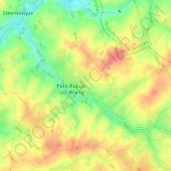
Click on the map to display elevation.
About this map
Name: Cité du Champ de l'Ange topographic map, elevation, terrain.
Average elevation: 266 ft
Minimum elevation: 161 ft
Maximum elevation: 367 ft