
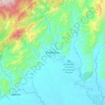
Florencia topographic map
Interactive map
Click on the map to display elevation.
About this map
Name: Florencia topographic map, elevation, terrain.
Location: Florencia, Caquetá, 57 038, Colombia (1.45587 -75.77430 1.77587 -75.45430)
Average elevation: 1,965 ft
Minimum elevation: 722 ft
Maximum elevation: 8,530 ft