
Rhäzüns topographic map
Interactive map
Click on the map to display elevation.
About this map
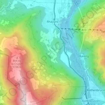
Name: Rhäzüns topographic map, elevation, terrain.
Location: Rhäzüns, Imboden, Grisons, 7403, Switzerland (46.76183 9.36880 46.80850 9.42006)
Average elevation: 3,465 ft
Minimum elevation: 1,942 ft
Maximum elevation: 6,453 ft
Other topographic maps
Click on a map to view its topography, its elevation and its terrain.