
Reiss topographic map
Interactive map
Click on the map to display elevation.
About this map
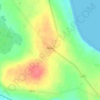
Name: Reiss topographic map, elevation, terrain.
Location: Reiss, Caithness, Scotland, KW1 4RT, United Kingdom (58.45581 -3.16669 58.49581 -3.12669)
Average elevation: 82 ft
Minimum elevation: -3 ft
Maximum elevation: 200 ft