
Crécy topographic map
Interactive map
Click on the map to display elevation.
About this map
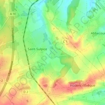
Name: Crécy topographic map, elevation, terrain.
Average elevation: 384 ft
Minimum elevation: 272 ft
Maximum elevation: 518 ft
Other topographic maps
Click on a map to view its topography, its elevation and its terrain.
Les Godins
France > Hauts-de-France > Oise > Saint-Sulpice
Les Godins, Saint-Sulpice, Beauvais, Oise, Hauts-de-France, France métropolitaine, 60430, France
Average elevation: 344 ft