
Pando topographic map
Interactive map
Click on the map to display elevation.
About this map
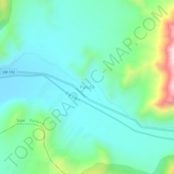
Name: Pando topographic map, elevation, terrain.
Location: Pando, Supe, Barranca, Lima, Peru (-10.87154 -77.60316 -10.83154 -77.56316)
Average elevation: 965 ft
Minimum elevation: 538 ft
Maximum elevation: 2,418 ft