
Kilosa topographic map
Interactive map
Click on the map to display elevation.
About this map
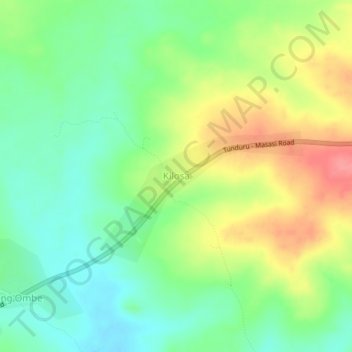
Name: Kilosa topographic map, elevation, terrain.
Location: Kilosa, Nanyumbu, Mtwara, Coastal Zone, Tanzanie (-10.85510 38.62895 -10.81510 38.66895)
Average elevation: 1,115 ft
Minimum elevation: 1,010 ft
Maximum elevation: 1,270 ft