
Essenhout topographic map
Interactive map
Click on the map to display elevation.
About this map
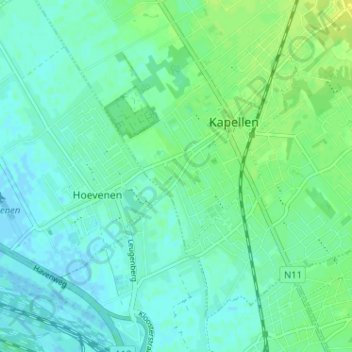
Name: Essenhout topographic map, elevation, terrain.
Location: Essenhout, Kapellen, Antwerpen, Vlaanderen, 2950, België (51.28874 4.39911 51.32874 4.43911)
Average elevation: 20 ft
Minimum elevation: -7 ft
Maximum elevation: 49 ft
Other topographic maps
Click on a map to view its topography, its elevation and its terrain.