
Angersdorf topographic map
Interactive map
Click on the map to display elevation.
About this map
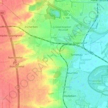
Name: Angersdorf topographic map, elevation, terrain.
Average elevation: 335 ft
Minimum elevation: 246 ft
Maximum elevation: 449 ft
Angersdorf liegt ca. 1 km südwestlich von Halle (Saale), auf einer Anhöhe westlich der Saaleaue.