
Umpqua National Forest topographic map
Interactive map
Click on the map to display elevation.
About this map
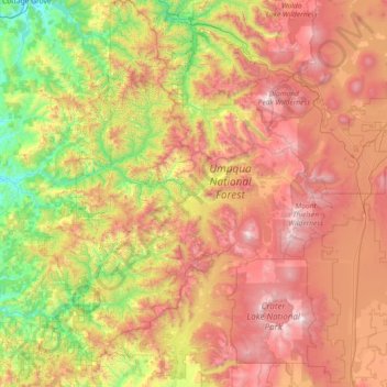
Name: Umpqua National Forest topographic map, elevation, terrain.
Average elevation: 3,855 ft
Minimum elevation: 650 ft
Maximum elevation: 8,612 ft