
Kusumi topographic map
Interactive map
Click on the map to display elevation.
About this map
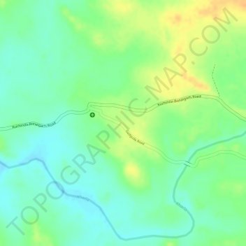
Name: Kusumi topographic map, elevation, terrain.
Location: Kusumi, Mahulpalli, Sambalpur District, Odisha, India (21.75812 84.52091 21.76743 84.53246)
Average elevation: 886 ft
Minimum elevation: 837 ft
Maximum elevation: 948 ft