
Piura topographic map
Interactive map
Click on the map to display elevation.
About this map
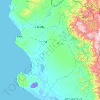
Name: Piura topographic map, elevation, terrain.
Location: Piura, Pérou (-6.36055 -81.47896 -4.36055 -79.47896)
Average elevation: 1,276 ft
Minimum elevation: -82 ft
Maximum elevation: 12,566 ft