
Paducah topographic map
Interactive map
Click on the map to display elevation.
About this map
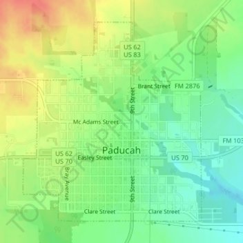
Name: Paducah topographic map, elevation, terrain.
Location: Paducah, Cottle County, Texas, 79248, United States (34.00541 -100.31653 34.02758 -100.29255)
Average elevation: 1,886 ft
Minimum elevation: 1,808 ft
Maximum elevation: 1,978 ft