
Nochistlán de Mejía topographic map
Interactive map
Click on the map to display elevation.
About this map
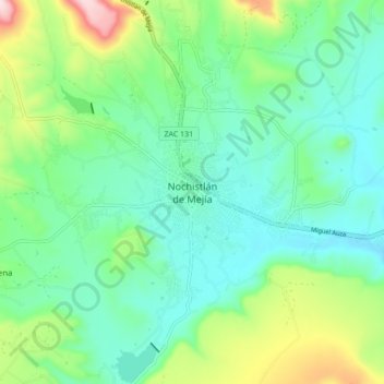
Name: Nochistlán de Mejía topographic map, elevation, terrain.
Location: Nochistlán de Mejía, Zacatecas, Mexico (21.32402 -102.88681 21.40402 -102.80681)
Average elevation: 6,280 ft
Minimum elevation: 5,938 ft
Maximum elevation: 7,238 ft