
Buggerru topographic map
Interactive map
Click on the map to display elevation.
About this map
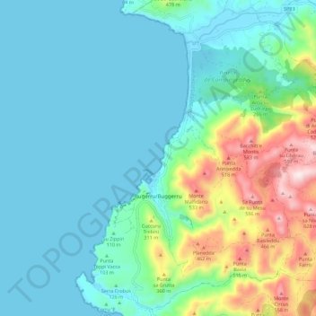
Name: Buggerru topographic map, elevation, terrain.
Location: Buggerru, Sulcis Iglesiente, Sardegna, 09010, Italia (39.36671 8.37836 39.44855 8.48911)
Average elevation: 456 ft
Minimum elevation: -3 ft
Maximum elevation: 2,119 ft