
Dunakeszi topographic map
Interactive map
Click on the map to display elevation.
About this map
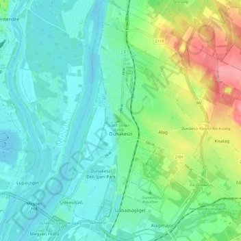
Name: Dunakeszi topographic map, elevation, terrain.
Location: Dunakeszi, Dunakeszi járás, Komitat Pest, Mittelungarn, Ungarn (47.59795 19.09928 47.67362 19.17593)
Average elevation: 407 ft
Minimum elevation: 322 ft
Maximum elevation: 640 ft