
Make a donation
Gear up for your next adventure:
As an Amazon Associate, this site earns from qualifying purchases at no extra cost to you.
Saint Charles topographic map
Click on the map to display elevation.
Make a donation
Gear up for your next adventure:
As an Amazon Associate, this site earns from qualifying purchases at no extra cost to you.
About this map
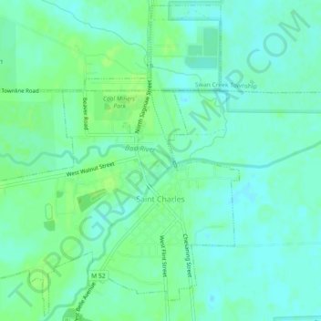
Name: Saint Charles topographic map, elevation, terrain.
Location: Saint Charles, Saginaw County, Michigan, United States (43.28495 -84.17451 43.31678 -84.12943)
Average elevation: 594 ft
Minimum elevation: 577 ft
Maximum elevation: 614 ft
Saginaw County trails, hiking, mountain biking, running and outdoor activities
Make a donation
Gear up for your next adventure:
As an Amazon Associate, this site earns from qualifying purchases at no extra cost to you.
Other topographic maps
Click on a map to view its topography, its elevation and its terrain.
Shattuckville
United States > Michigan > Saginaw County > Saginaw Charter Township
Average elevation: 614 ft
Shattuckville
United States > Michigan > Saginaw County > Saginaw Charter Township
Average elevation: 614 ft