
Endla järv topographic map
Interactive map
Click on the map to display elevation.
About this map
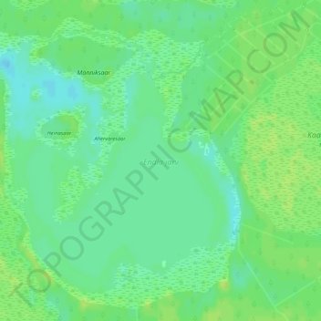
Name: Endla järv topographic map, elevation, terrain.
Location: Endla järv, Kärde küla, Jõgeva vald, Jõgeva maakond, Estonia (58.84761 26.17633 58.86999 26.21748)
Average elevation: 256 ft
Minimum elevation: 230 ft
Maximum elevation: 272 ft