
Thank you for supporting this site ❤️
Make a donation
Make a donation
Gear up for your next adventure:
As an Amazon Associate, this site earns from qualifying purchases at no extra cost to you.
Ibach topographic map
Click on the map to display elevation.
Thank you for supporting this site ❤️
Make a donation
Make a donation
Gear up for your next adventure:
As an Amazon Associate, this site earns from qualifying purchases at no extra cost to you.
About this map
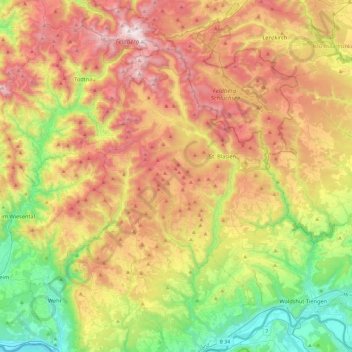
Name: Ibach topographic map, elevation, terrain.
Location: Ibach, Landkreis Waldshut, Baden-Württemberg, 79875, Germany (47.58169 7.90900 47.90169 8.22900)
Average elevation: 2,690 ft
Minimum elevation: 909 ft
Maximum elevation: 4,892 ft
Thank you for supporting this site ❤️
Make a donation
Make a donation
Gear up for your next adventure:
As an Amazon Associate, this site earns from qualifying purchases at no extra cost to you.