
Toum topographic map
Interactive map
Click on the map to display elevation.
About this map
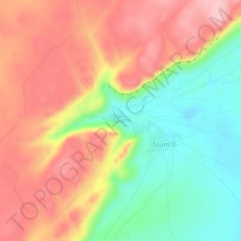
Name: Toum topographic map, elevation, terrain.
Location: Toum, Bankass Cercle, Mopti, Mali (13.52663 -3.92853 13.56663 -3.88853)
Average elevation: 1,348 ft
Minimum elevation: 1,040 ft
Maximum elevation: 1,627 ft
Other topographic maps
Click on a map to view its topography, its elevation and its terrain.