
御釜 topographic map
Interactive map
Click on the map to display elevation.
About this map
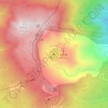
Name: 御釜 topographic map, elevation, terrain.
Location: 御釜, 蔵王町, 刈田郡, Prefectura de Miyagi, Japón (38.13492 140.44784 38.13793 140.45124)
Average elevation: 5,180 ft
Minimum elevation: 3,714 ft
Maximum elevation: 6,030 ft