
Cotterg topographic map
Interactive map
Click on the map to display elevation.
About this map
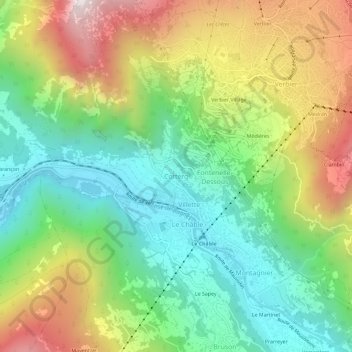
Name: Cotterg topographic map, elevation, terrain.
Location: Cotterg, Val de Bagnes, Entremont, Vallese, 1934, Svizzera (46.06561 7.19065 46.10561 7.23065)
Average elevation: 4,111 ft
Minimum elevation: 2,556 ft
Maximum elevation: 6,601 ft