
Changuil Alto topographic map
Interactive map
Click on the map to display elevation.
About this map
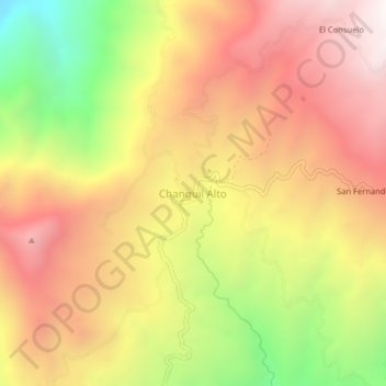
Name: Changuil Alto topographic map, elevation, terrain.
Location: Changuil Alto, Régulo de Mora, San Miguel, Bolívar, Ecuador (-1.89866 -79.20841 -1.85866 -79.16841)
Average elevation: 5,089 ft
Minimum elevation: 2,382 ft
Maximum elevation: 7,129 ft