
Liberty Hill Park topographic map
Interactive map
Click on the map to display elevation.
About this map
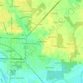
Name: Liberty Hill Park topographic map, elevation, terrain.
Average elevation: 59 ft
Minimum elevation: 16 ft
Maximum elevation: 95 ft
Other topographic maps
Click on a map to view its topography, its elevation and its terrain.
Centennial Arms
United States > North Carolina > Lenoir County > Kinston
Centennial Arms, Kinston, Lenoir County, North Carolina, 28501, United States
Average elevation: 69 ft