
Flour Mill topographic map
Interactive map
Click on the map to display elevation.
About this map
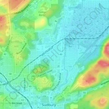
Name: Flour Mill topographic map, elevation, terrain.
Location: Flour Mill, Greater Sudbury, Ontario, P3C 5J7, Kanada (46.49515 -80.99915 46.51515 -80.97915)
Average elevation: 906 ft
Minimum elevation: 830 ft
Maximum elevation: 1,099 ft