
Macuira topographic map
Interactive map
Click on the map to display elevation.
About this map
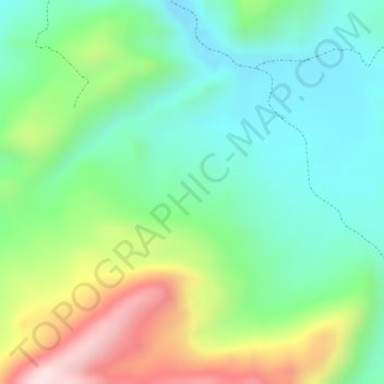
Name: Macuira topographic map, elevation, terrain.
Location: Macuira, El Molino, La Guajira, RAP Caribe, Colombia (10.61611 -72.91545 10.63611 -72.89545)
Average elevation: 1,483 ft
Minimum elevation: 988 ft
Maximum elevation: 2,375 ft