
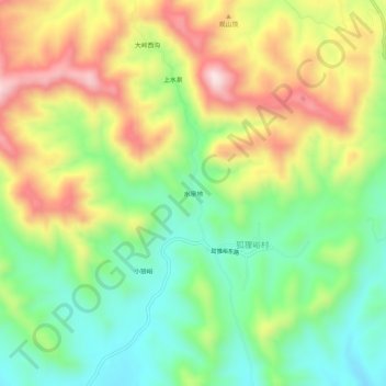
水泉地 topographic map
Interactive map
Click on the map to display elevation.
About this map
Name: 水泉地 topographic map, elevation, terrain.
Location: 水泉地, 狐狸峪村, 蓟州区, 天津市, 中国 (40.06608 117.33969 40.10608 117.37969)
Average elevation: 758 ft
Minimum elevation: 180 ft
Maximum elevation: 1,549 ft