
Dulce Grande topographic map
Interactive map
Click on the map to display elevation.
About this map
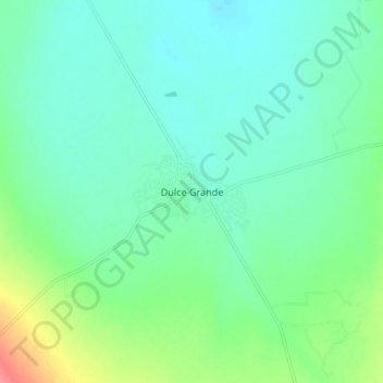
Name: Dulce Grande topographic map, elevation, terrain.
Location: Dulce Grande, Villa de Ramos, San Luis Potosí, México (22.96013 -102.21439 23.04013 -102.13439)
Average elevation: 6,549 ft
Minimum elevation: 6,490 ft
Maximum elevation: 6,722 ft