
Paraa topographic map
Interactive map
Click on the map to display elevation.
About this map
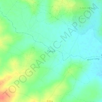
Name: Paraa topographic map, elevation, terrain.
Location: Paraa, Arua, Northern Region, Uganda (3.02107 31.28063 3.06107 31.32063)
Average elevation: 2,165 ft
Minimum elevation: 2,110 ft
Maximum elevation: 2,270 ft