
Aberangell topographic map
Interactive map
Click on the map to display elevation.
About this map
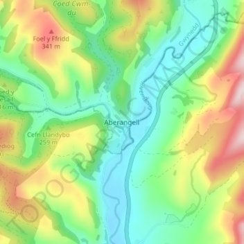
Name: Aberangell topographic map, elevation, terrain.
Location: Aberangell, Gwynedd, Wales, SY20 9QH, United Kingdom (52.65620 -3.72923 52.69620 -3.68923)
Average elevation: 577 ft
Minimum elevation: 128 ft
Maximum elevation: 1,401 ft