
Yörük topographic map
Interactive map
Click on the map to display elevation.
About this map
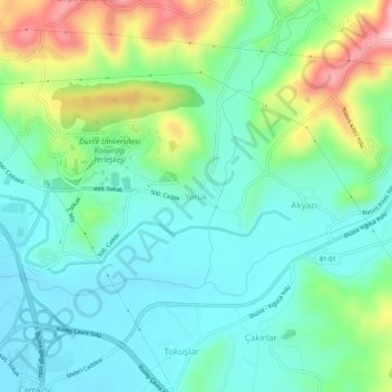
Name: Yörük topographic map, elevation, terrain.
Location: Yörük, Düzce, Black Sea Region, 81110, Turkey (40.88020 31.17133 40.92020 31.21133)
Average elevation: 719 ft
Minimum elevation: 499 ft
Maximum elevation: 1,280 ft
Other topographic maps
Click on a map to view its topography, its elevation and its terrain.
Akbıyıklar
Akbıyıklar, Düzce, Black Sea Region, 81630, Turkey
Average elevation: 1,155 ft