
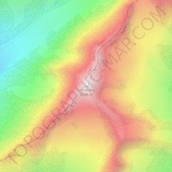
Schinhorn topographic map
Interactive map
Click on the map to display elevation.
About this map
Name: Schinhorn topographic map, elevation, terrain.
Location: Schinhorn, Blatten, Westlich Raron, Vallese, 3919, Svizzera (46.45169 7.94632 46.45179 7.94642)
Average elevation: 10,154 ft
Minimum elevation: 7,818 ft
Maximum elevation: 12,382 ft
Other topographic maps
Click on a map to view its topography, its elevation and its terrain.