
Demopolis topographic map
Interactive map
Click on the map to display elevation.
About this map
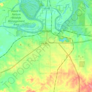
Name: Demopolis topographic map, elevation, terrain.
Location: Demopolis, Marengo County, Alabama, États-Unis d'Amérique (32.46595 -87.89486 32.53282 -87.76196)
Average elevation: 135 ft
Minimum elevation: 36 ft
Maximum elevation: 331 ft