
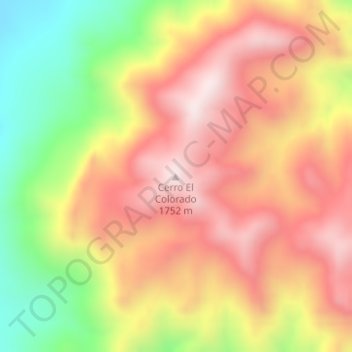
Cerro El Colorado topographic map
Interactive map
Click on the map to display elevation.
About this map
Name: Cerro El Colorado topographic map, elevation, terrain.
Location: Cerro El Colorado, Acuña, Coahuila, México (29.24471 -102.18610 29.24481 -102.18600)
Average elevation: 4,869 ft
Minimum elevation: 3,658 ft
Maximum elevation: 5,797 ft
Other topographic maps
Click on a map to view its topography, its elevation and its terrain.
Ciudad Acuña
Ciudad Acuña, Acuña, Coahuila, 26200, México
Average elevation: 1,066 ft