
Ban Khao Huai Lung topographic map
Interactive map
Click on the map to display elevation.
About this map
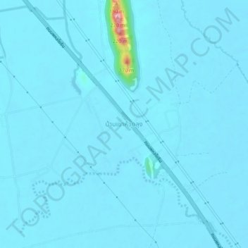
Name: Ban Khao Huai Lung topographic map, elevation, terrain.
Location: Ban Khao Huai Lung, Ban Daen, Nakhon Sawan Province, Thailand (15.89923 99.85906 15.93923 99.89906)
Average elevation: 141 ft
Minimum elevation: 115 ft
Maximum elevation: 715 ft