
Vorderland topographic map
Interactive map
Click on the map to display elevation.
About this map
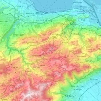
Name: Vorderland topographic map, elevation, terrain.
Location: Vorderland, Appenzello Esterno, Svizzera (47.39634 9.45192 47.46905 9.63096)
Average elevation: 2,356 ft
Minimum elevation: 1,286 ft
Maximum elevation: 4,075 ft
Other topographic maps
Click on a map to view its topography, its elevation and its terrain.
Hinterland
Hinterland, Appenzello Esterno, Svizzera
Average elevation: 3,255 ft