
Telica topographic map
Interactive map
Click on the map to display elevation.
About this map
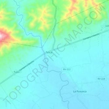
Name: Telica topographic map, elevation, terrain.
Location: Telica, Olancho, Honduras (14.67985 -86.17715 14.75985 -86.09715)
Average elevation: 1,480 ft
Minimum elevation: 1,125 ft
Maximum elevation: 3,461 ft