
Holzleiten topographic map
Interactive map
Click on the map to display elevation.
About this map
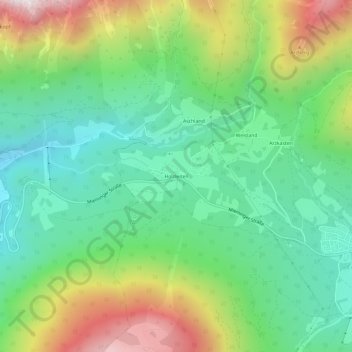
Name: Holzleiten topographic map, elevation, terrain.
Location: Holzleiten, Obsteig, Bezirk Imst, 6416, Autriche (47.28894 10.86518 47.32894 10.90518)
Average elevation: 4,140 ft
Minimum elevation: 2,884 ft
Maximum elevation: 6,555 ft