
Ati topographic map
Interactive map
Click on the map to display elevation.
About this map
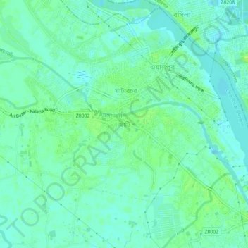
Name: Ati topographic map, elevation, terrain.
Average elevation: 16 ft
Minimum elevation: -3 ft
Maximum elevation: 36 ft
Other topographic maps
Click on a map to view its topography, its elevation and its terrain.
Ghatarchar
Bangladesh > Dhaka Division > Keraniganj Subdistrict
Ghatarchar, Keraniganj Subdistrict, Dhaka District, Dhaka Division, 1312, Bangladesh
Average elevation: 16 ft
Keraniganj
Bangladesh > Dhaka Division > Keraniganj Subdistrict
Keraniganj, Keraniganj Subdistrict, Dhaka District, Dhaka Division, 1310, Bangladesh
Average elevation: 23 ft