
Doyle topographic map
Interactive map
Click on the map to display elevation.
About this map
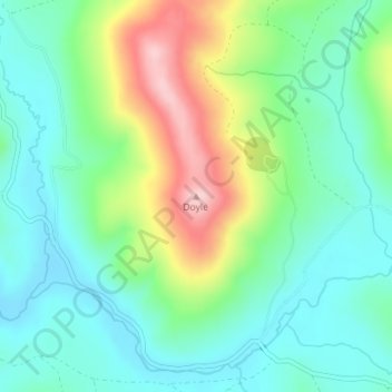
Name: Doyle topographic map, elevation, terrain.
Average elevation: 5,702 ft
Minimum elevation: 5,499 ft
Maximum elevation: 6,152 ft
Other topographic maps
Click on a map to view its topography, its elevation and its terrain.
Portola
Vereinigte Staaten von Amerika > Kalifornien > Plumas County
Portola, Plumas County, Kalifornien, Vereinigte Staaten von Amerika
Average elevation: 5,039 ft