
Saint Thomas topographic map
Interactive map
Click on the map to display elevation.
About this map
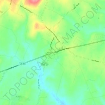
Name: Saint Thomas topographic map, elevation, terrain.
Average elevation: 633 ft
Minimum elevation: 515 ft
Maximum elevation: 840 ft
Other topographic maps
Click on a map to view its topography, its elevation and its terrain.
Williamson
United States > Pennsylvania > Franklin County > St. Thomas Township
Williamson, St. Thomas Township, Franklin County, Pennsylvania, 17270, United States
Average elevation: 545 ft