Geolocate

Mendon topographic map

Click on the map to display elevation.

About this map
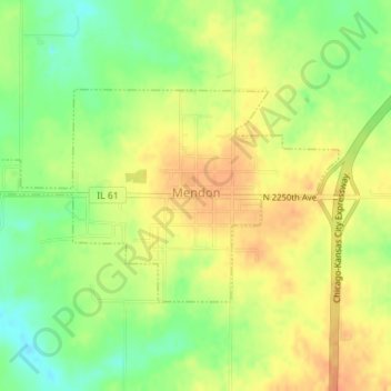
Name: Mendon topographic map, elevation, terrain.

Location: Mendon, Adams County, Illinois, United States (40.08080 -91.30231 40.09547 -91.27091)

Average elevation: 732 ft

Minimum elevation: 656 ft

Maximum elevation: 784 ft

Adams County trails, hiking, mountain biking, running and outdoor activities

Gear up for your next adventure:

🪶Trail Camera - Capture wildlife on your hikes
📚USA Hiking Guide Books - Top trail guides and map books
🧭Hiking Compass - Precision compass for reliable navigation in the wilderness
🧯Portable Fire Pit - Compact fire pit for camping spots
🔭Telescopic Hiking Pole - Adjustable pole for hiking stability

As an Amazon Associate, this site earns from qualifying purchases at no extra cost to you.