
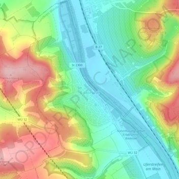
Erlabrunn topographic map
Interactive map
Click on the map to display elevation.
About this map
Name: Erlabrunn topographic map, elevation, terrain.
Average elevation: 781 ft
Minimum elevation: 531 ft
Maximum elevation: 1,168 ft
Other topographic maps
Click on a map to view its topography, its elevation and its terrain.
Giebelstadt
Allemagne > Bavière > Landkreis Würzburg
Giebelstadt, Verwaltungsgemeinschaft Giebelstadt, Landkreis Würzburg, Bavière, 97232, Allemagne
Average elevation: 958 ft