
Myross Bush topographic map
Interactive map
Click on the map to display elevation.
About this map
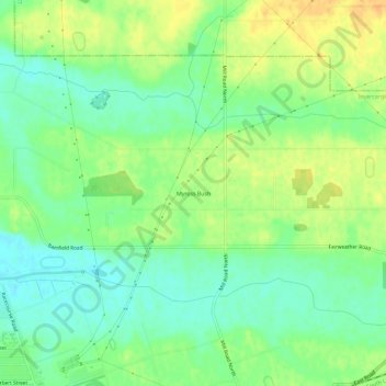
Name: Myross Bush topographic map, elevation, terrain.
Average elevation: 59 ft
Minimum elevation: 10 ft
Maximum elevation: 112 ft
Other topographic maps
Click on a map to view its topography, its elevation and its terrain.
West Plains
New Zealand > Southland > Invercargill City
West Plains, Invercargill City, Southland, 9816, New Zealand
Average elevation: 23 ft
Kennington
New Zealand > Southland > Invercargill City
Kennington, Invercargill City, Southland, 9872, New Zealand
Average elevation: 72 ft