
Franklinville topographic map
Interactive map
Click on the map to display elevation.
About this map
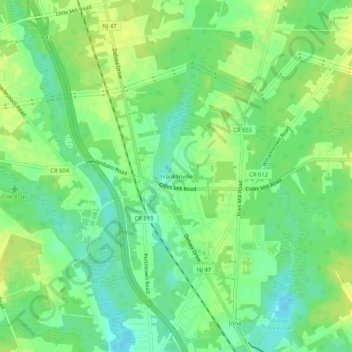
Name: Franklinville topographic map, elevation, terrain.
Average elevation: 105 ft
Minimum elevation: 72 ft
Maximum elevation: 131 ft
Other topographic maps
Click on a map to view its topography, its elevation and its terrain.
Iona
United States > New Jersey > Gloucester County > Franklin Township
Iona, Franklin Township, Gloucester County, New Jersey, 08328, United States
Average elevation: 102 ft