Geolocate

Clyo topographic map

Click on the map to display elevation.

About this map

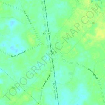
Name: Clyo topographic map, elevation, terrain.

Location: Clyo, Effingham County, Georgia, United States (32.46407 -81.28705 32.50407 -81.24705)

Average elevation: 79 ft

Minimum elevation: 52 ft

Maximum elevation: 108 ft

Other topographic maps

Click on a map to view its topography, its elevation and its terrain.

Rincon

United States > Georgia > Effingham County

Average elevation: 62 ft

Rincon

United States > Georgia > Effingham County

Average elevation: 62 ft

Gear up for your next adventure:

🦶Hiking Gaiters - Keep debris and water out of your boots
🧭Compass with Lanyard - Easy‑carry compass for navigation
🧭Hiking Compass - Precision compass for reliable navigation in the wilderness
🖼️Topo Map Wall Art - Decorative topographic prints of famous peaks and regions
🦺Reflective Outdoor Gear - Safety gear for low‑light conditions

As an Amazon Associate, this site earns from qualifying purchases at no extra cost to you.